We've been working our way up South Carolina and are now in North Carolina, so that is state number 4 of the trip! Since we left Charleston, we decided to primarily anchor out, and that's what we've been doing for the last few days.
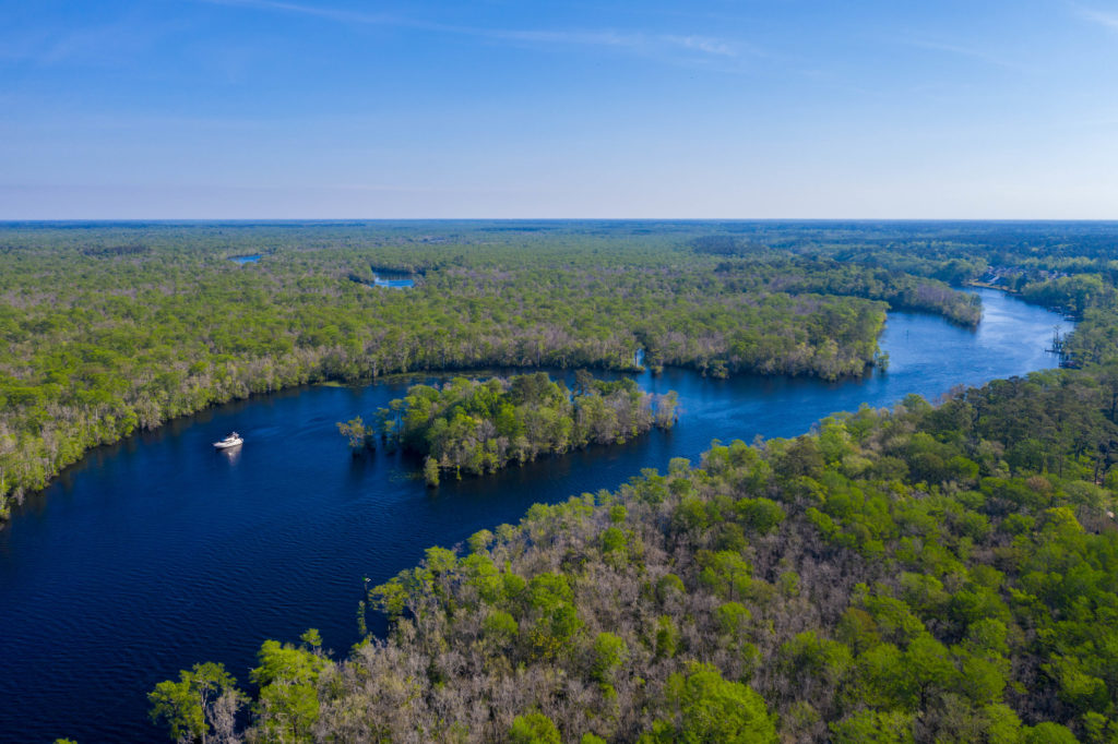
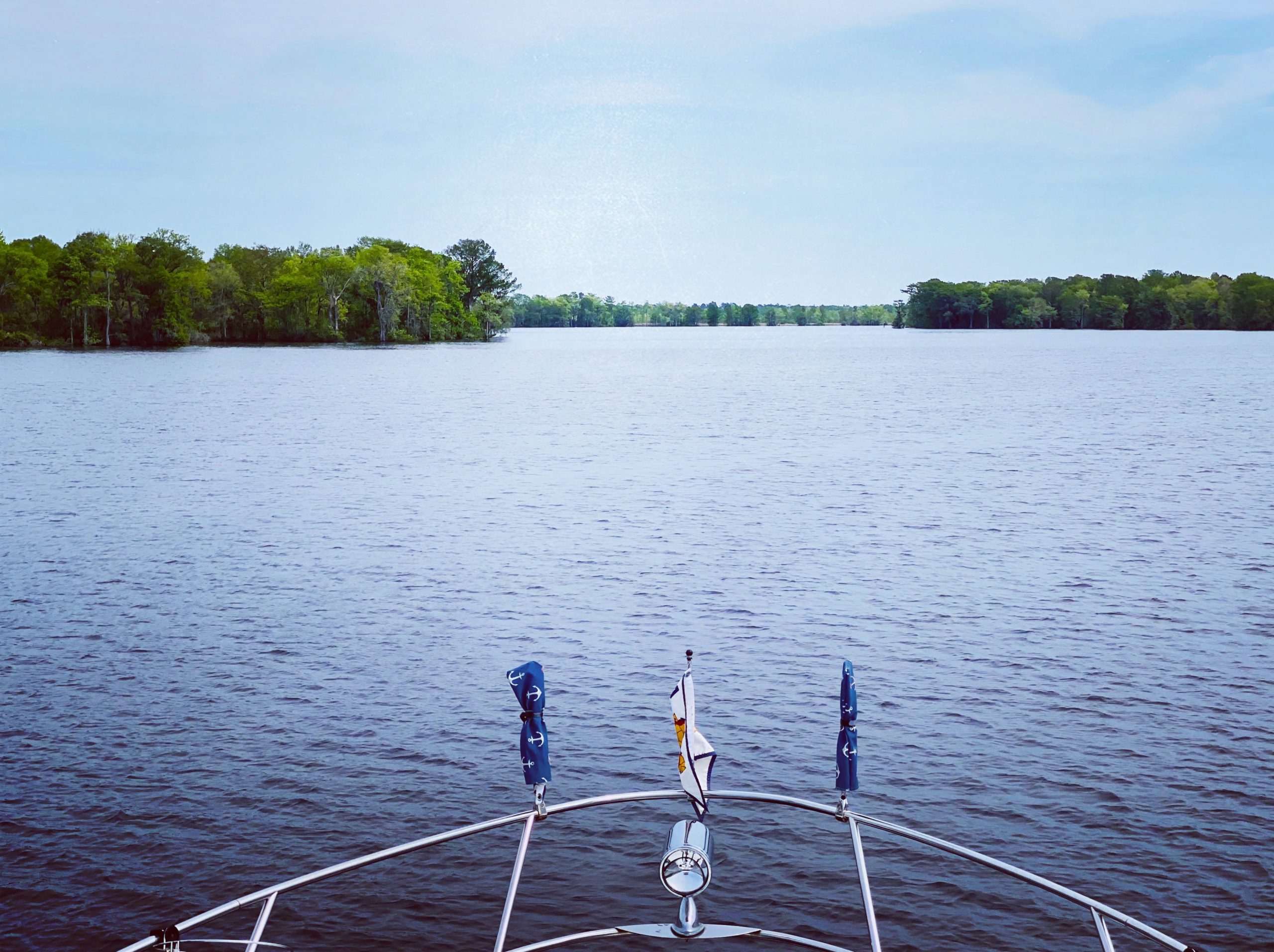
After leaving Charleston, we spent a couple of days cruising up the Waccamaw River - a beautiful river where we cruised through endless trees and didn't see much in the way of civilization outside of a couple of marinas. We stayed in two different anchorages on the river - Awendaw Creek and Butler Island. Both of these anchorages we were completely alone. Sadly on our last night on the Waccamaw, we spoke with David's aunt and uncle who have spent many years cruising the ICW and recommended a couple of side-creeks to visit that we had already passed! Ah well - we can always loop again :)
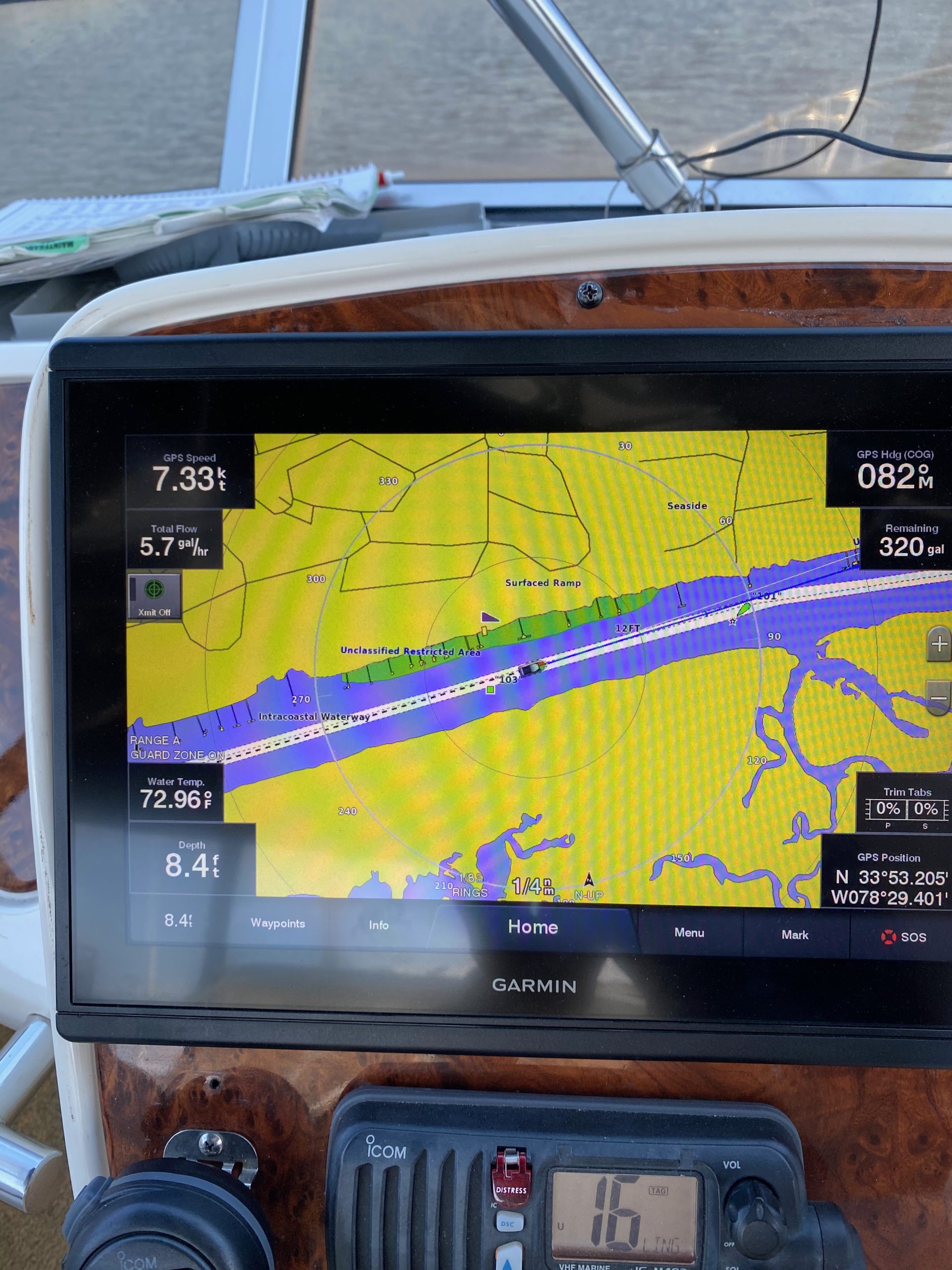
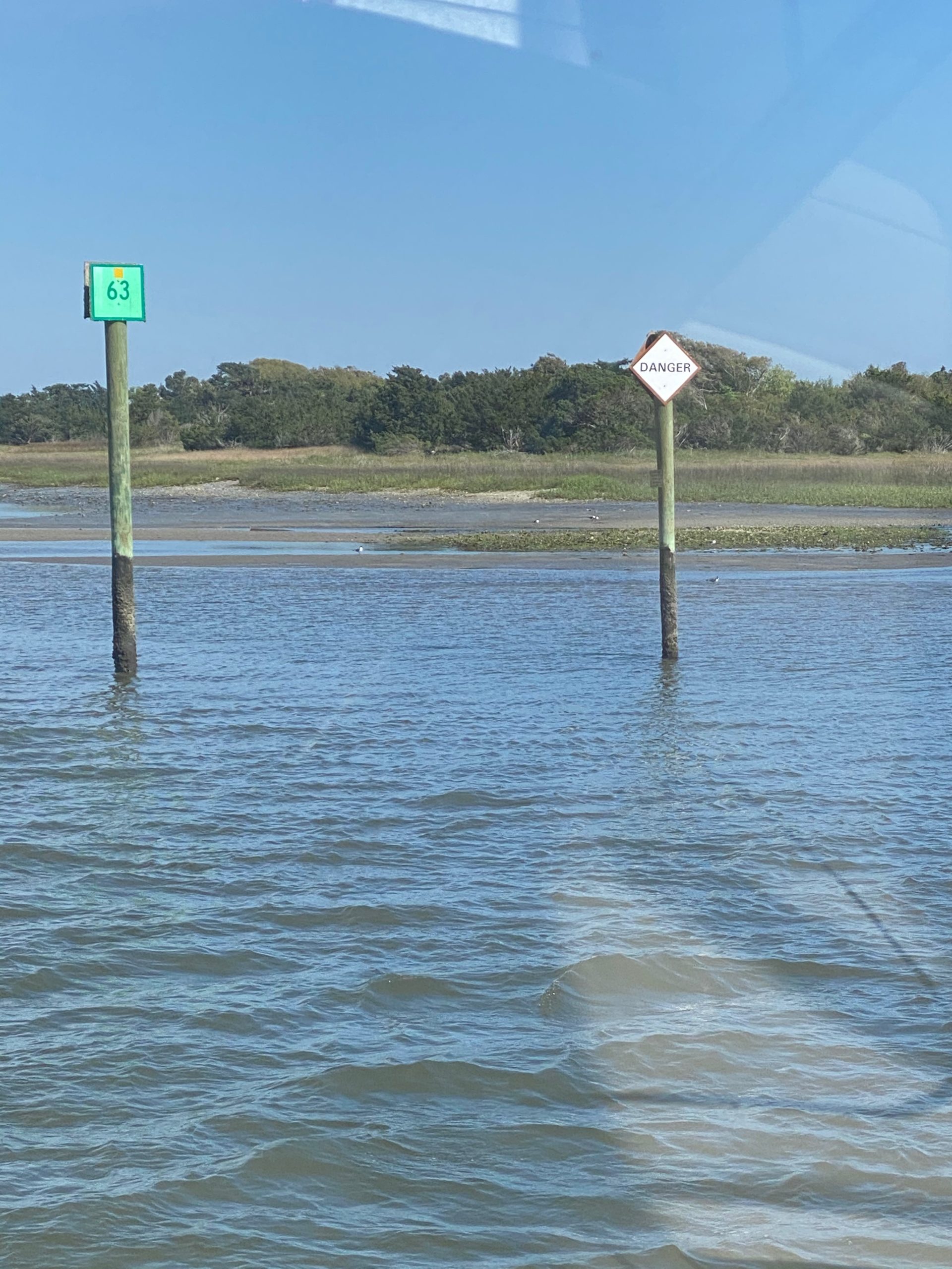
The next section of the ICW was a very narrow channel with almost no anchorages for about 60 miles. We ended up doing this in one day, which was a long and very nerve racking day. Turns out that we were cruising primarily at a -2 low tide, where the water is dredged in most places only to 10ft. This means that we spent the day in about 8ft of depth in a channel wide enough basically for 2 boats. There was one particularly scary section that I had to navigate where we were literally 10ft away from a 40ft long sandbar off the starboard side, with the channel marker about 10ft off the port side, and the depth alarm sounding at 4 ft depth. Oh my the adrenaline!!! I was too stressed out, and driving alone while David was downstairs conducting an interview, to take any pictures. Later on, we passed one of the channel markers literally sitting dried up on the sand, with the other marker barely two boat-lengths away from it! I did get a snap of that below, but you might need to zoom in to see the red marker on the sand and the green marker not that far away from it! We passed by plenty of houses in this stretch, many of which had loooooong piers down to the water with small floating docks - most of which were not even floating, just lying on the sand!! I tried to get a shot of these, but we were in 8ft of water at the time, so I was mostly focused on not running aground. It's going to take me a while to recover from that day.
We arrived safely to our destination, which was an anchorage called Tina's Pocket. This was described as a good protected anchorage - HA. It ended up being an extremely open area (with no other boats, so that's good) and we had to drop the hook in a 3kt current. Thank goodness for our Rocna, which has not failed yet to get a good hold. We had a pretty late arrival and therefore a rather unceremonious entrance into North Carolina.
